
Larapinta
A four day run for most of us, and a stage race for about dozen or so competitive runners.
The itinerary was -
- Stage 1: 19.5km around Alice Springs from the Old Telegraph Station to the Mercure
- Stage 2: 41km from Simpson’s Gap to Standley Chasm
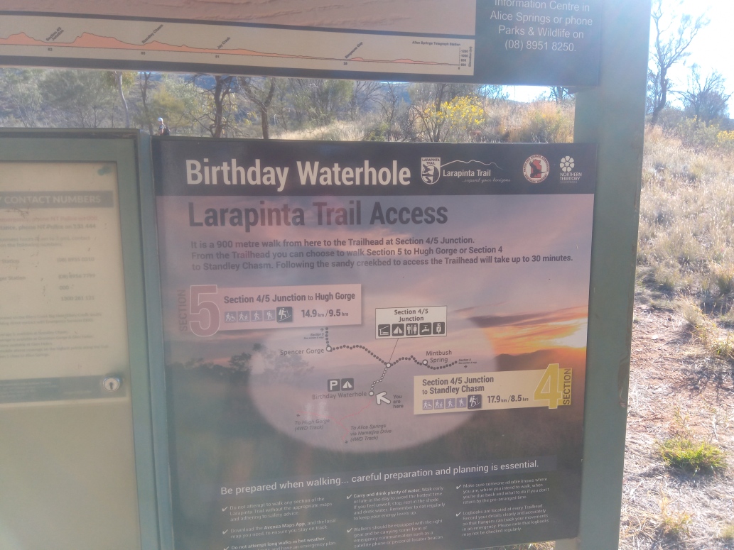
- Stage 3: 33km Birthday Waterhole turn-off, to Standley Chasm
- Stage 4: 34km Ochre Pits to Ellery Creek Waterhole
Day 1
The first day was a 20km evening run close to Alice Springs, and finishing at the old Telegrpah Station. We started an hour before dusk, and got to finish in the dark. It was a gentle introduction to the landscape, and more than a few burnt out cars scattered around the tracks.
Day 2
Next morning was a chilly early start. The coach picked us at at the hotel, and half an hour later dropped us at Simpsons Gap. There’s nothing but a car park and some pit toilets there. It was a mere 41km from Simpson’s Gap to the finish at Standley Chasm through some of the most inhospitable country in Australia, with 1300m of elevation. We could expect an aid station after 16km with another at 26km. And an emergency aid station at 34km where water was choppered in, so a max of 1L per runner.
Stage 2 starts on the dry river bed at picturesque Simpsons Gap and heads West. The course can be split into two halves, the first half through to water point 2 at the 26km point is quite flat and fast, providing comfortable running through open country and nice scenery.
The second half from the 26km point to the finish is a lot harder with some very technical running over rough ground and is significantly slower going than the first half. The course climbs to the top of the Chewings Range ridge line – providing some incredible views across Central Australia – before descending into a rough and scrambly valley that ultimately leads to the finish at the Standley Chasm café. The last 10km at least are very hard and provide slow going for even the strongest athletes.
The start line at Simpsons Gap is a dry watercourse
A gentle start over rolling hills. These rolling hills continued until the aid station at the 26km mark.
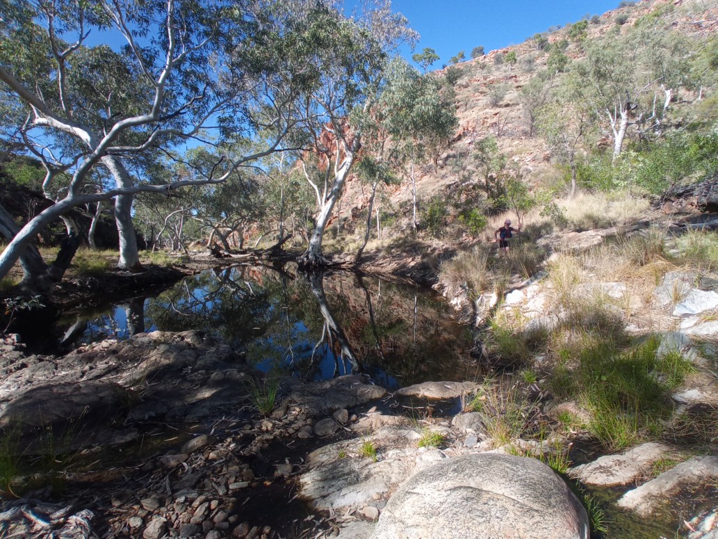
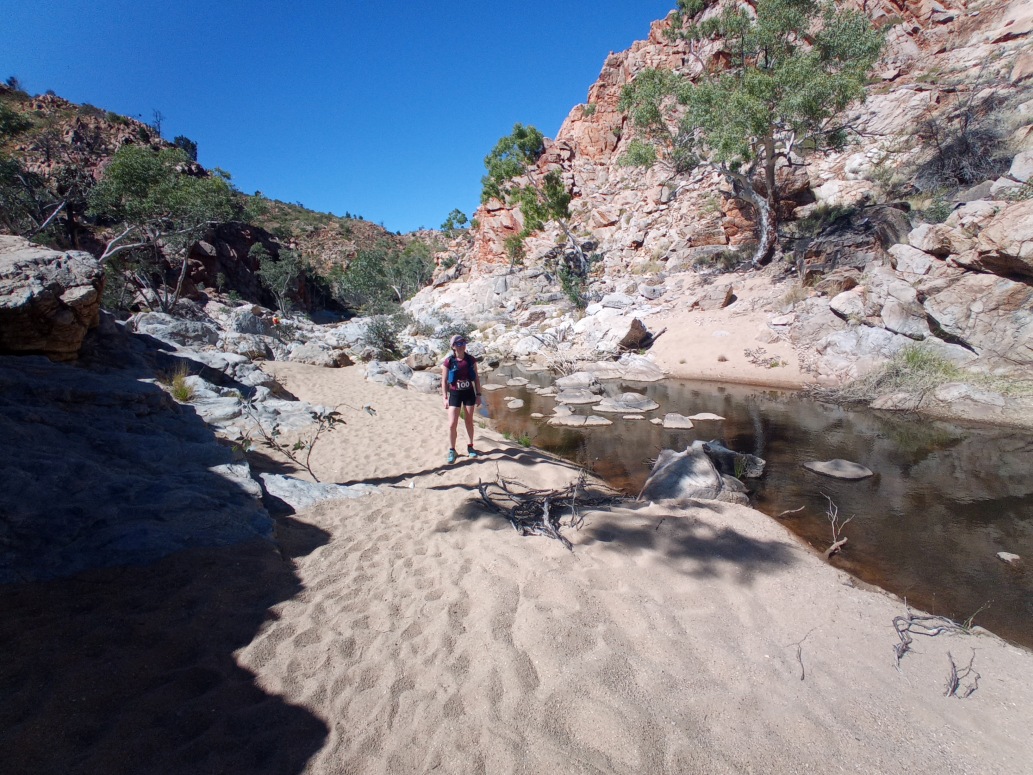
Bypassing a pleasant waterhole just after the first aid station at Jay Creek Campground.
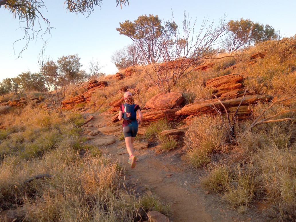
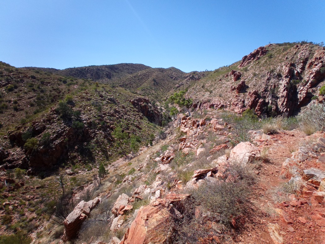
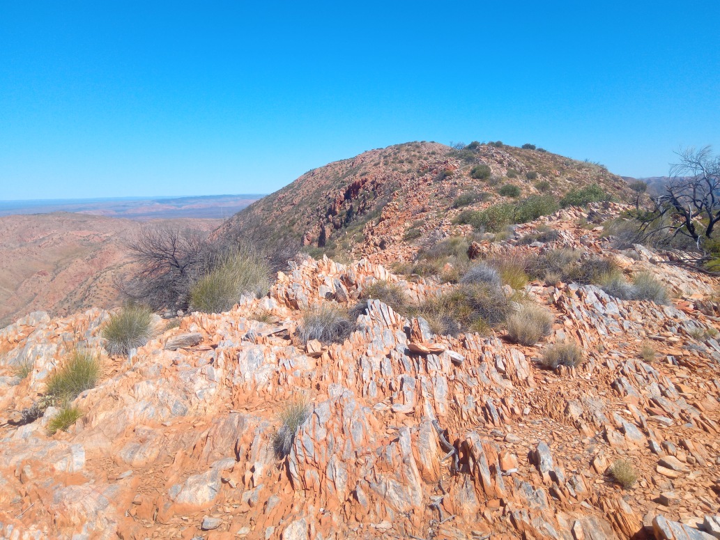
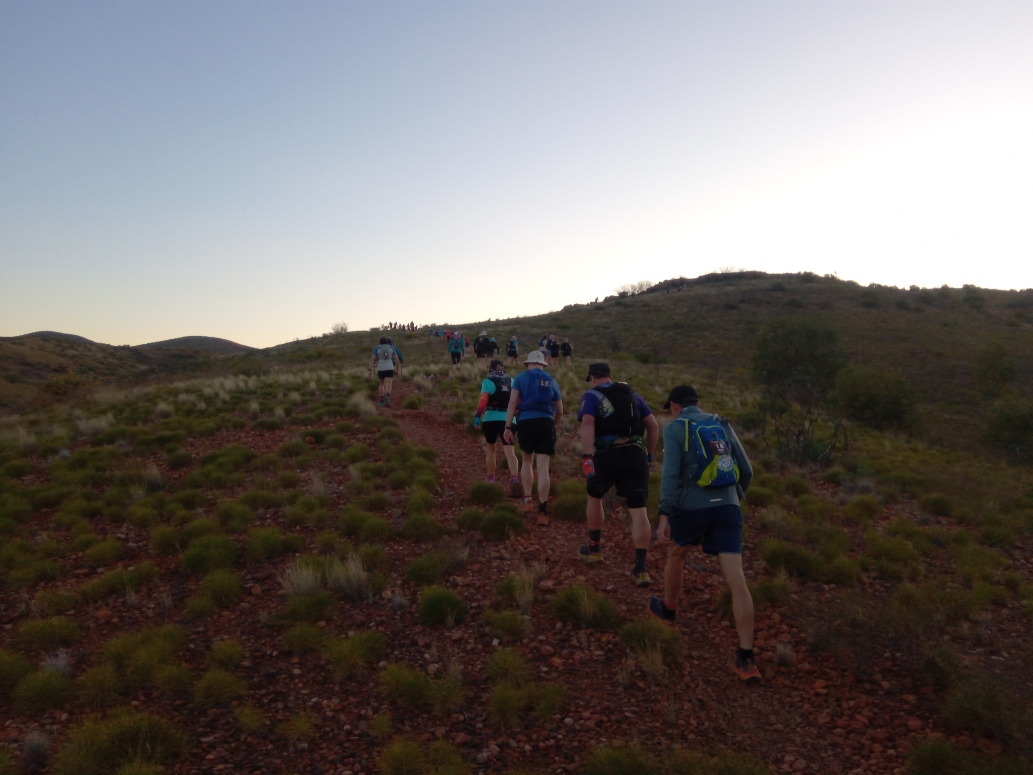
We soon climbed to the ridges, where the terrain became looser underfoot.
It’s a big country out there. There’s is absolutely nothing there, except for the Larapinta Trail.
The landscape, the views and the terrain were all absolutely spectacular from start to finish.
The ridges were the highlight - rough underfoot, views for millions of miles with nothing but red rocks and red dirt.
Not especially runnable after 30km in your legs, with another 11km still to go.
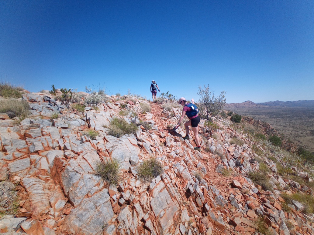
The descents were a often tricky.
Nothing there but geology.
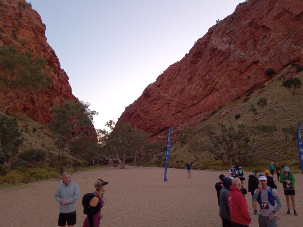
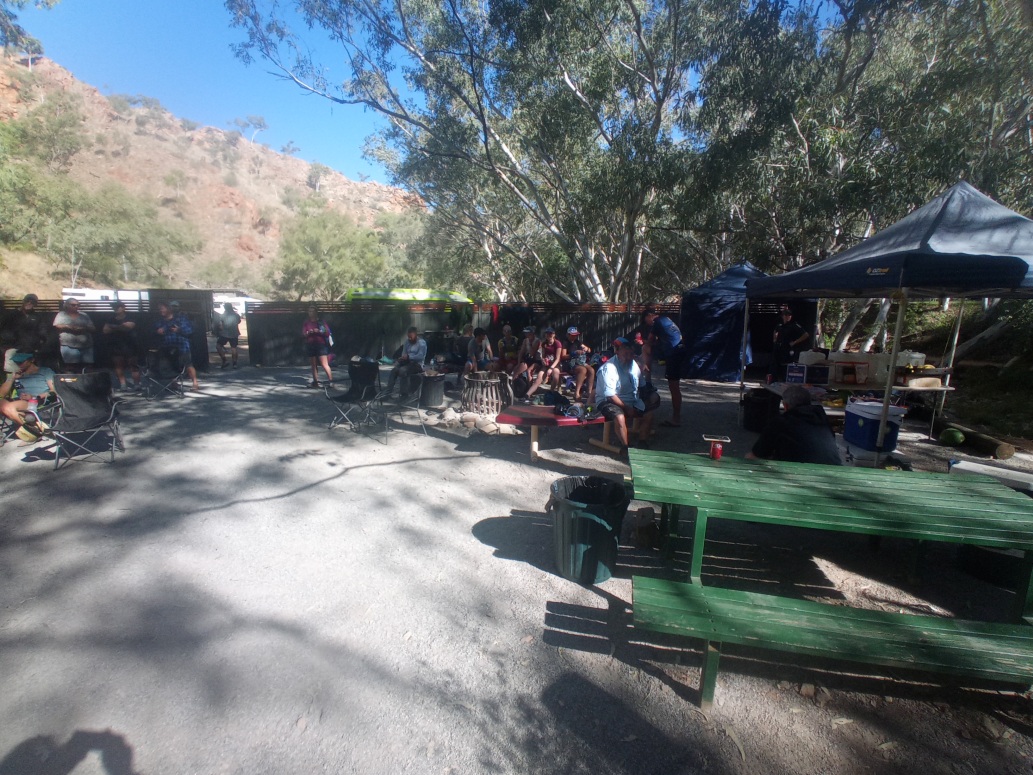
We finished day 2 at the kiosk at Stanley Chasm. An ice cold coke was waiting for us every day at the finish line courtesy of the race organisers.
Day 3
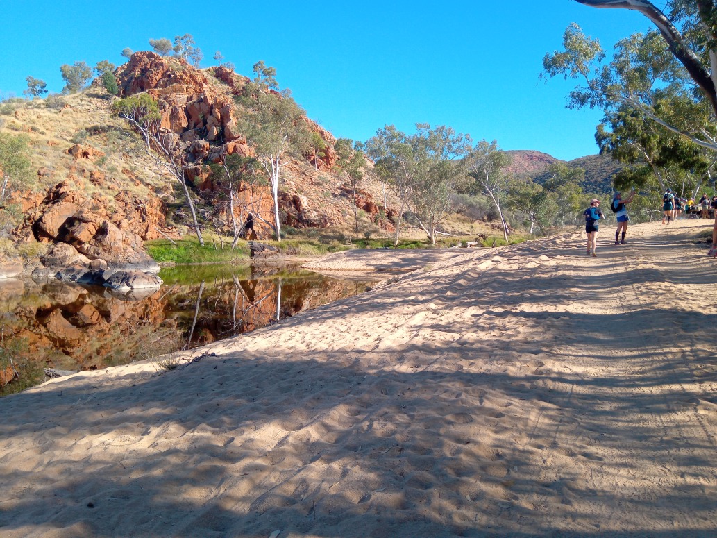
Day 3 was only 33km with less than 100m of vert. Again an early coach ride to the start at the start of the Birthday Waterholes Track.
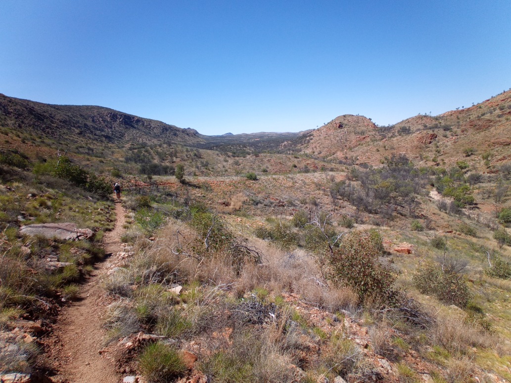
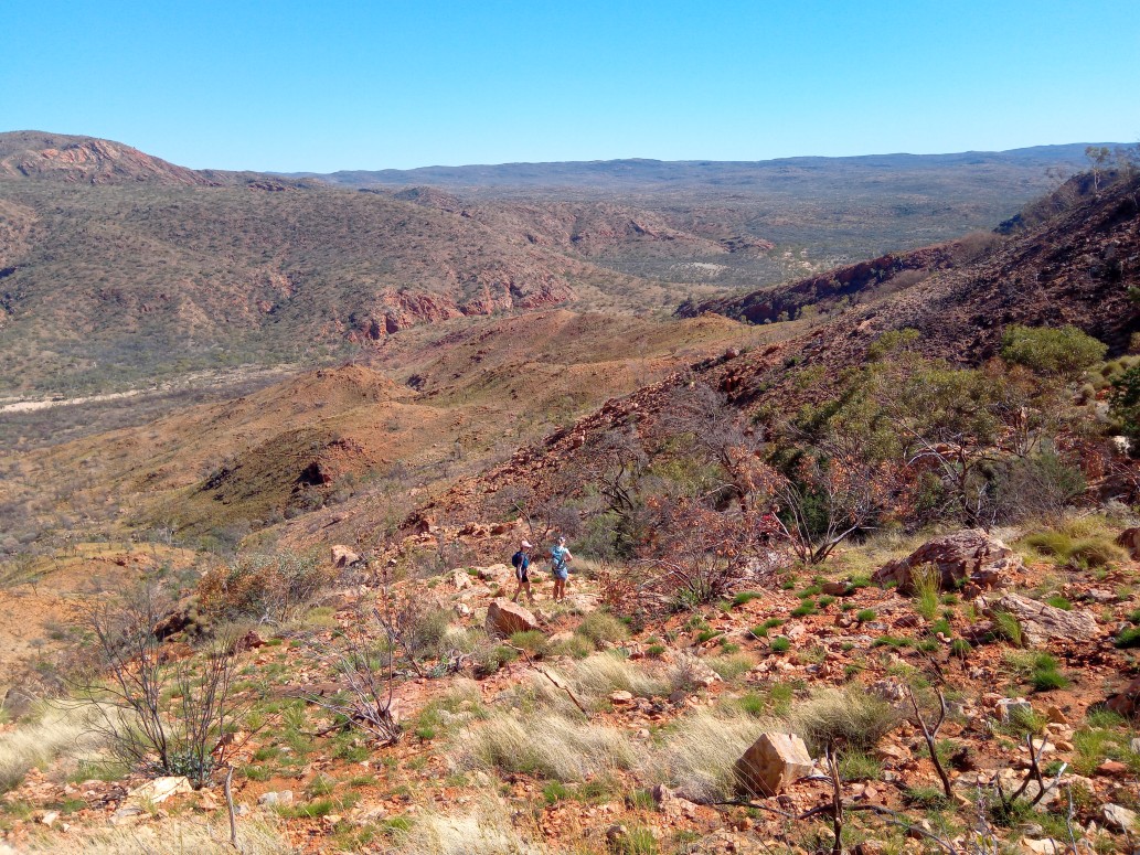
Runners commence at the Birthday Waterhole Track / Red Centre Way road junction and run for approx. 14km along the undulating 4WD track as it winds its way across the flats and crosses a few dry creeks before arriving at Birthday Creek Waterhole. This section is very runnable and rewarding as you make your way towards the ranges.
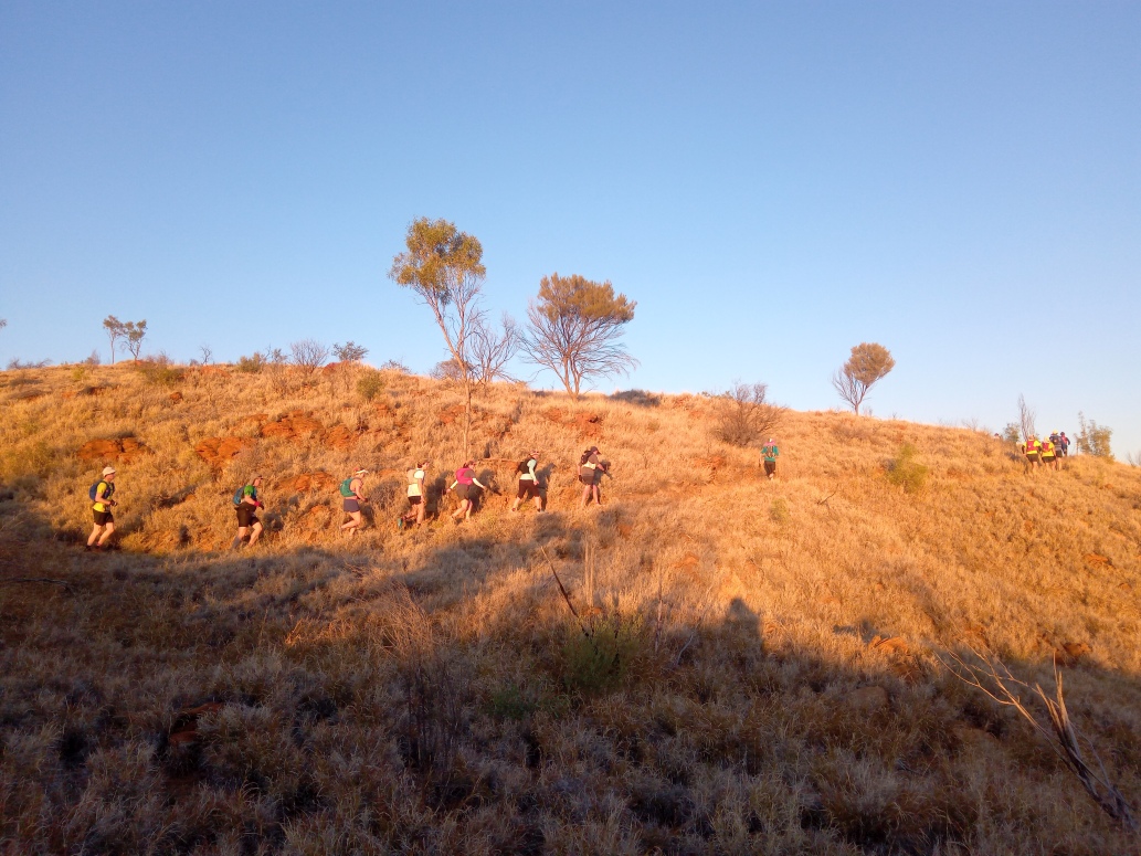
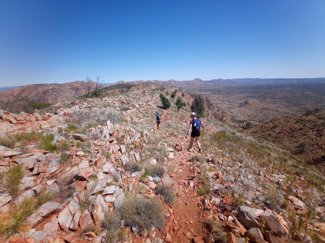
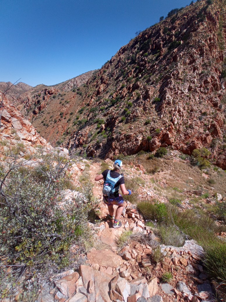
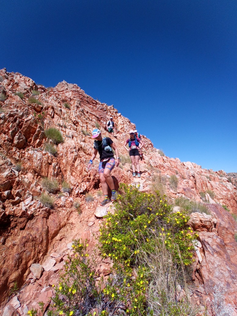
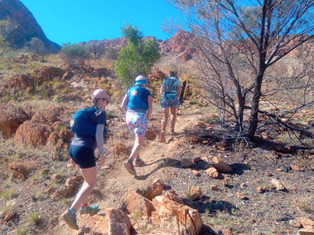
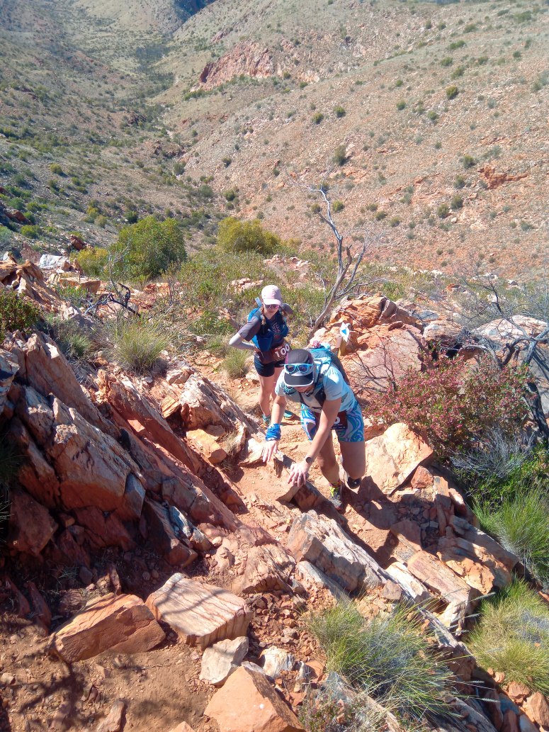
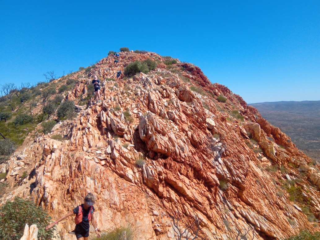
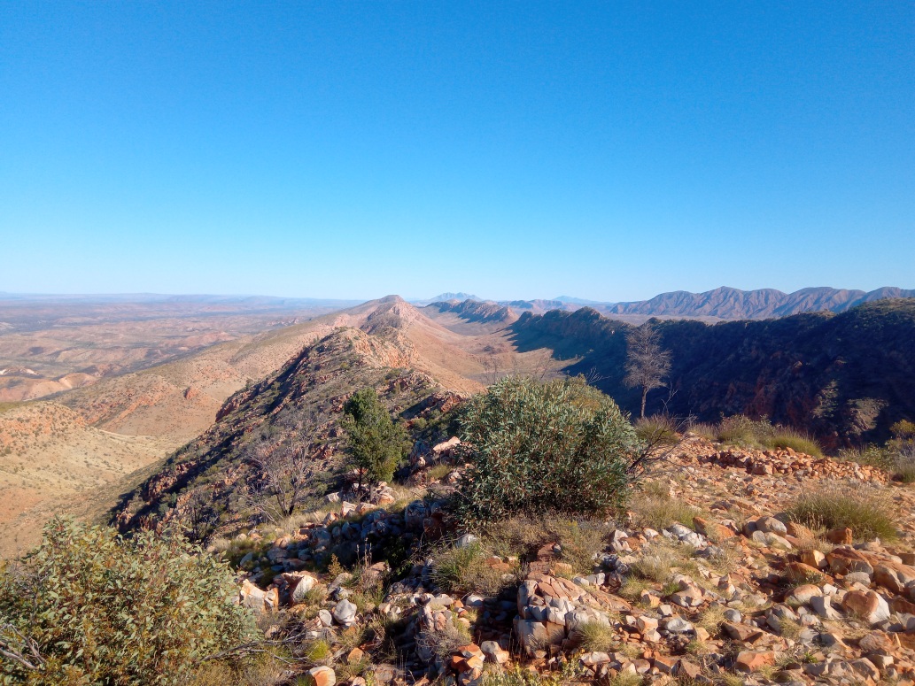
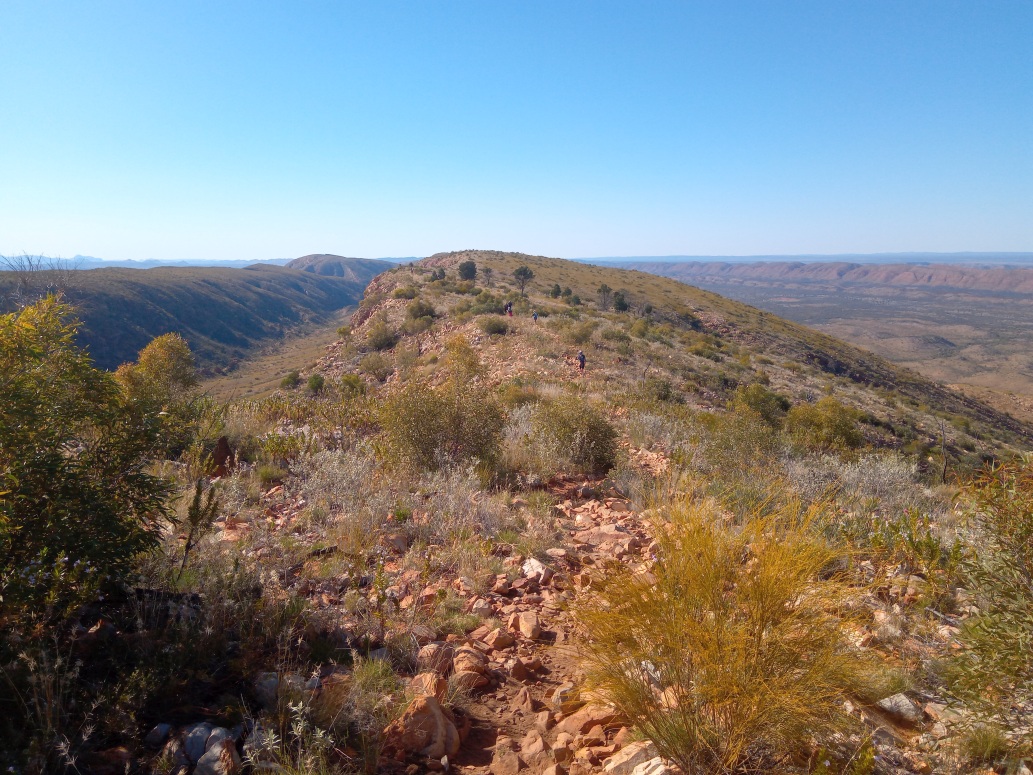
Past the water point the course picks up the Larapinta Trail and skirts the base of some ridges before a very steep and tough climb up to the iconic Brinkley Bluff – the course climbing 550m in just 3km as it zig-zags its way up the side of this steep ridge, passing many false summits and steep drops in the process. The views from the top make it well worth it as you are high up in the Chewings Ranges with views across the continent.
From the summit it is largely ‘all downhill’ for 10km to the finish line at the Standley Chasm café although the highly technical terrain and loose rock remains that makes it a taxing descent through Reveal Saddle and finish arch.
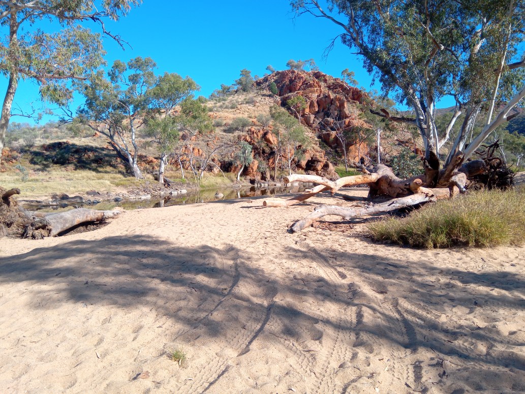
And after 15km traveling mostly North over the sandy four wheel drive track, we reached the aid station at Birthday Waterholes.
And quickly continued
The occasional marker reassured us we on track.
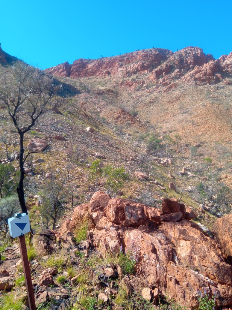
More red rock and red dirt as far as the eye can see.
Ascending Brinkley Bluff
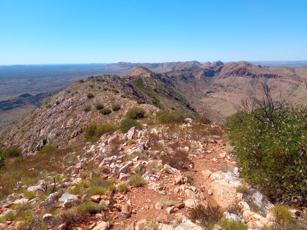
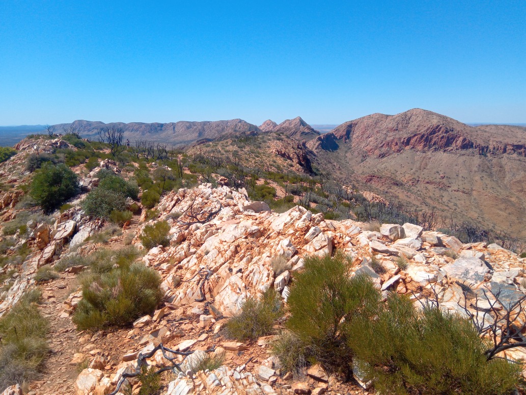
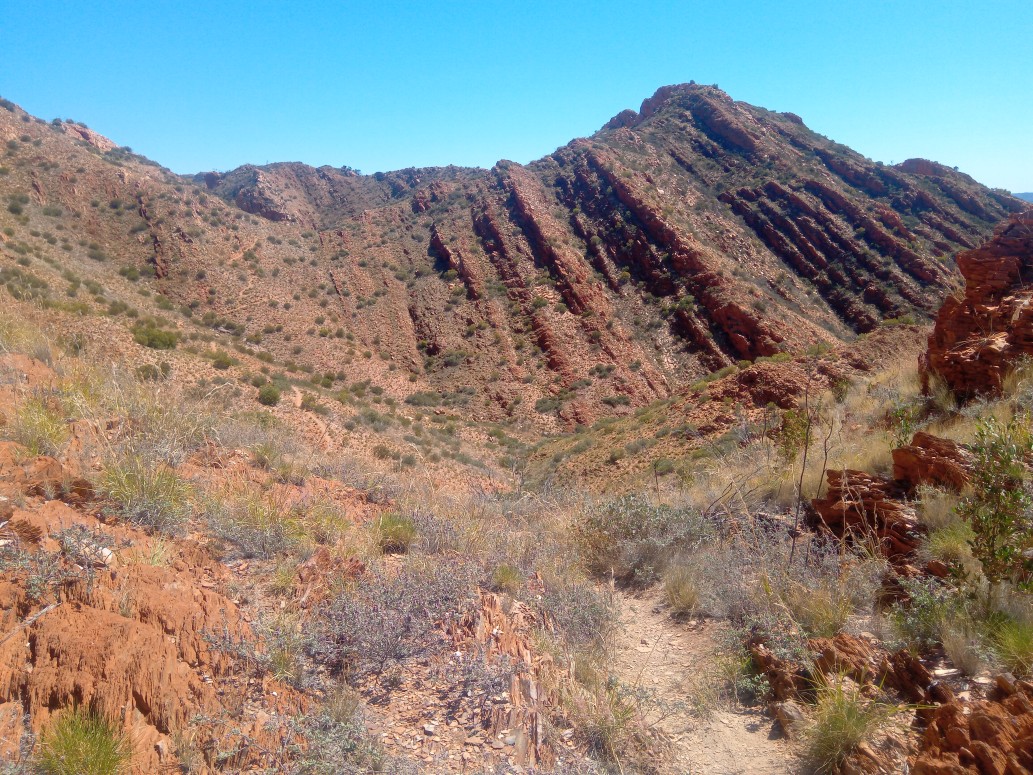
The Brinkley Bluff Ridge went for miles, with views of the strata in all directions.
The track follows the ridge - it definitely went over this outcrop.
A line of runners head down one of the saddles following the non-obvious track.
The end of this stage is behind the pair of hills on the horizon.
The track off the high point follows the ridge to the saddle with difficulty, and is just visible to the left of it.
And finishes again at Standley Chasm, this time from the West.
Day 4
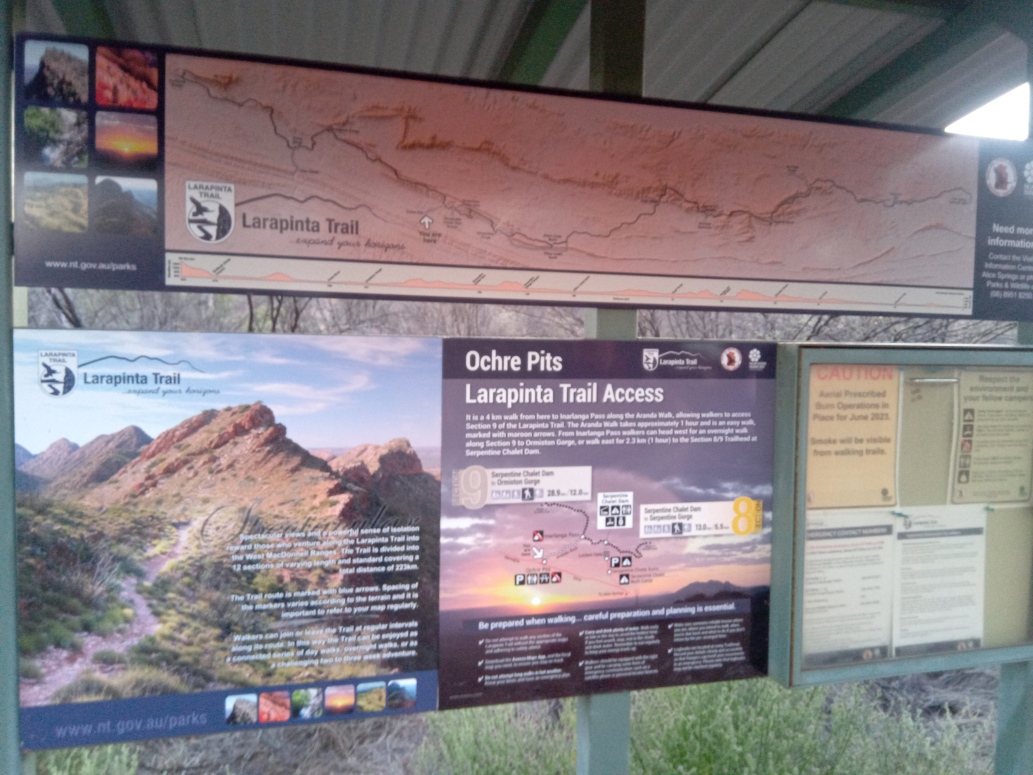
Day four commences at the Ochre Pits.
The starts at the ancient Ochre Pits used by aboriginals as a quarry for their rock paintings and body art. Heading north for 3.5km runners then turn right (east) on the Larapinta Trail and continue along the undulating terrain as it flanks the ridges to go past Serpentine Chalet Dam at 6km mark. At the 9km the trail makes a sharp turn up as you climb to the spectacular Counts Point lookout on the ridgeline (runners complete a short 700m out and back to visit the lookout and get their name ticked off.)
The spectacular running continues along the ridgeline and then drops down to water point at Serpentine Gorge at 21km and continues along the undulating trail below the ridgeline to the ultimate finish line at the Ellery Creek Waterhole. This last section from WP2 to the finish is very harsh, sharp and rocky so you must keep concentrating all the way to the finish.
The first 10km was pretty level.
Then came the steep climb to the ridge, and a short out & back to the lookout.
The ridge continued East for 5km before desceding into Serpentine Gorge at the 20km mark.
From here it was another 10km of deceptively undulating and rocky slog to the last finish line at Ellery Creek Big Hole.